Digital Ark: St. Florence, Wales: Ye olde mappes original

Old Maps    Last Update: 2026-09-04

Just for interest/fun, a few maps, or images of maps.
Back To Top↑
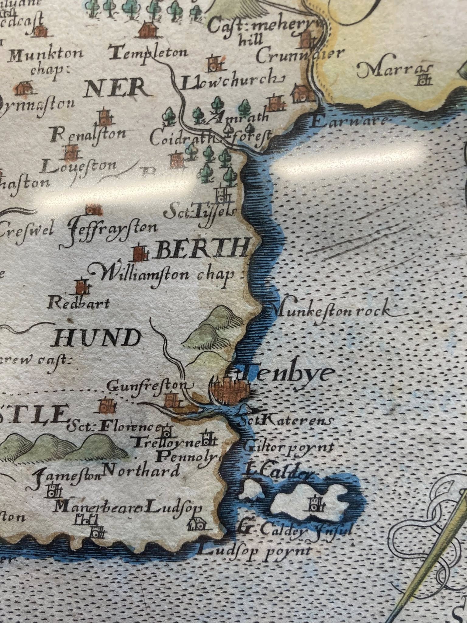
original
Source: 18th century map found on Facebook:Tenby through time
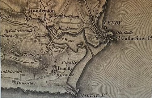
original
Source: 1818 century map found on Facebook:Tenby through time

Each of these 3 maps shows how there was an estuary at Tenby, reaching towards Gumfreston, feeding to the Ritec river.
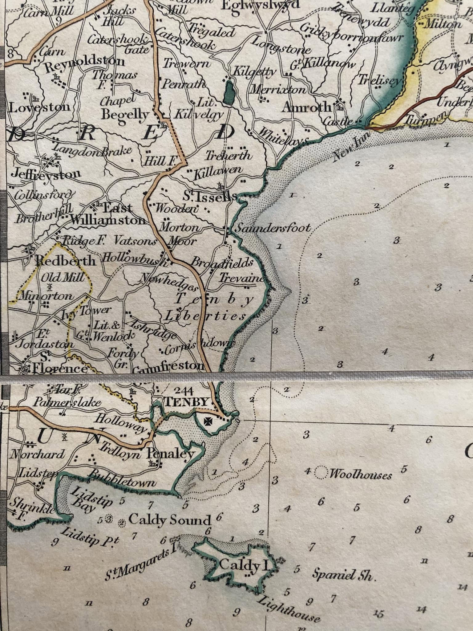
original
Source: 1832 century map found on Facebook:Tenby through time


Back To Top↑
original
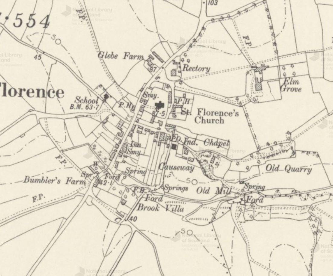
'Reproduced with the permission of the National Library of Scotland'
Source: 1908 link to source

Despite it's date, 1908, it is fairly representative of St. Florence in the early 1950's.

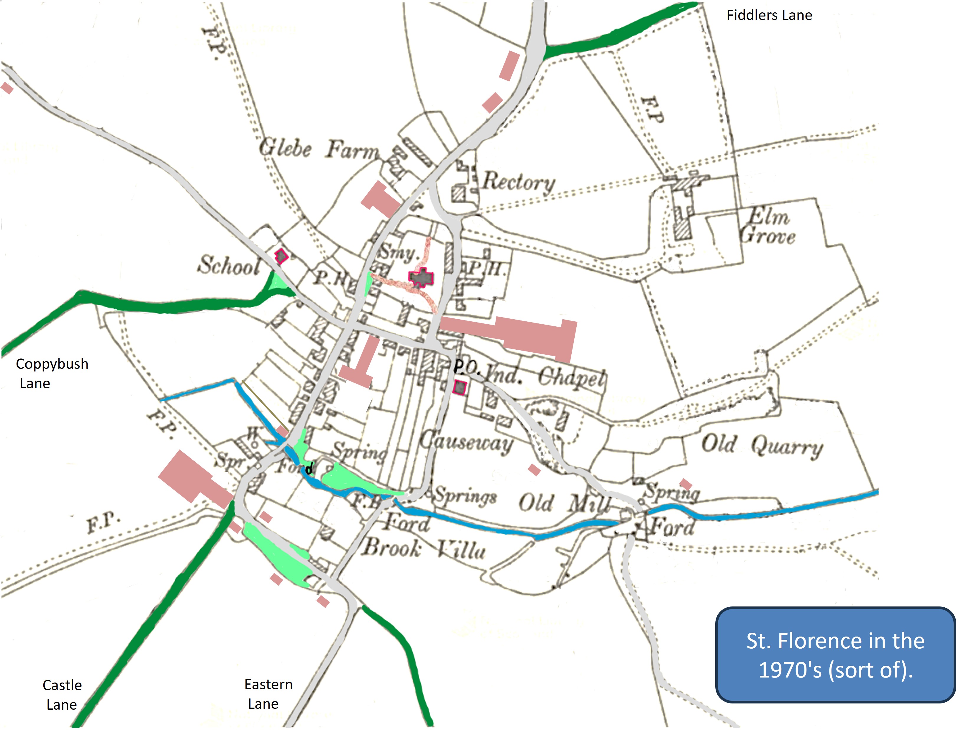
In order to bring this map up-to-date (that is to say to the 1970's) we must add in:


Back To Top↑
original
Source: Derived from the previous map.

This is based on the previous map, which has information that is not strictly need, so it has been modified.

A few superflous features have been removed e.g. contour lines, some trees, some field boundaries,..

Then, in order to make it a bit more legible (?)